Climate Resilient Asset Planning and Management
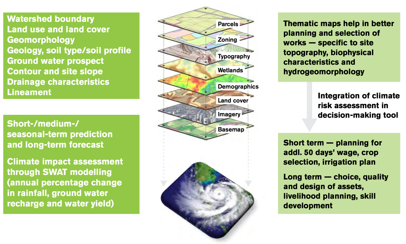
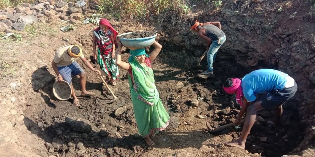
MGNREGA creates structures for water conservation, soil conservation, water harvesting and land development etc. that contributes toward climate resilience. The tool integrates GIS layers of information (like topography, contour, geomorphology, lineament etc.) with future climate projections so that planning for structure are future fit to deal with climate impacts such as reduced ground water, increased runoff or increased flood etc. The tool generates an advisory of possible climate resilient strategies, types and design of assets to suit the local climatic, topographical and geomorphological factors.
What are its key features and services?
- Improves the selection and design of MGNREGS assets by combining GIS and climate modelling forecasts with a climate vulnerability assessment
- Uses landscape and integrated natural resource management approaches as the basis for design and selection of MGNREGS assets
- Prioritises community works that reduce exposure to climate change risks and build resilience including plantation and fodder development
- Prioritises individual works that help households reduce exposure to climate risks
How does it work?


