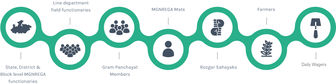


How U-CRISP works?
UNIVERSAL CRISP tool integrates GIS layers of topographical, geomorphological and biophysical information with short-term, seasonal weather forecast and future climate projections and current climate change vulnerabilities of a community.
The tool then analyses this information and generates an advisory that allows early detection of drought and provide insights into possible options of climate resilient strategies thereby facilitating climate resilient wage planning and construction of assets under MGNREGA. It has an additional feature that helps in remote sensing based monitoring of the impact of the assets created under MGNREGS.
U-CRISP Services
CLIMATE RESILIENT ASSET PLANNING AND MANAGEMENT
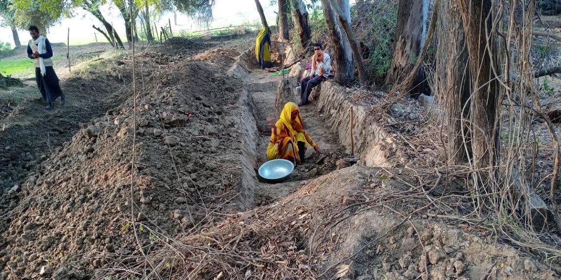
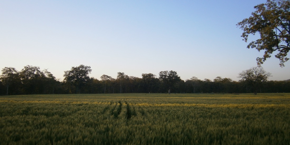
The tool integrates ten GIS layers of information, such as land use, topography, contours, geology and ground water prospect, with past and future climate data. This helps ensure that long-term decisions and planning for public works assets—ranging from water conservation structures to forests—take climate risks into consideration. These GIS layers of information build a fairly accurate digitised picture of conditions on the ground that the community and MGNREGS workers can immediately relate to. In addition, the tool integrates a mobile app that allows a community to modify or update planning based on their local/ traditional knowledge, needs and known local field conditions. It can also help them to identify and prioritise the assets that can strengthen their existing livelihoods or reduce their exposure to climate risks; for example through diversification into agro-forestry, horticulture, sericulture, fisheries, fodder development or livestockbased farming systems.
This uses near real-time rainfall data, weather forecasts and remote sensing data to provide early warning to MGNREGS officials and communities about the onset of droughts in their initial stages. The tool establishes thresholds at which it indicates that decision makers should trigger drought declaration processes and initiate planning measures for the additional 50 days’ wage labour. Community members seeking to minimise imminent losses, or damage to their crops or sources of livelihood, can use the app’s recommendations to help shape their decisions on how to manage their assets. The decision-support module is also capable of sending automatic updates to relevant officials and communities to maintain smooth information flows among different stakeholders.
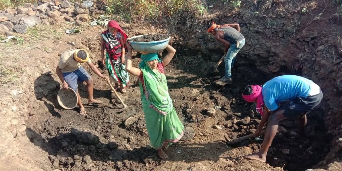
Community based planning and monitoring
To bring in two-way accountability, and move beyond conventional top-down approaches to monitoring and impact assessment, the tool helps build an information system that is crowd-sourced from the impacted community. This enables community members to verify claims on progress, report the actual status of their natural resource management assets, highlight structures needing repair or maintenance, and ensure more equitable sharing of benefits. The app also includes a dashboard feature which uses remote sensing to provide a snapshot of the impact of MGNREGS assets on different bio-physical indicators—such as changes in cropped area, wastelands, forest area and area of water bodies.